-33.96 | 25.05
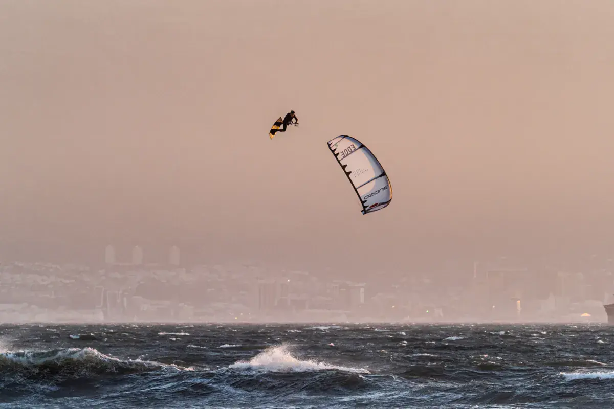
Gamtoos River Mouth is a spot located at the mouth of the Gamtoos River, between Jeffreys Bay and St Francis. This river mouth offers a mix of conditions: flat water in the estuary and waves on the ocean beach. The setting is wild and natural, in the Gamtoos River Valley area. The mouth can be wide and offer good riding space. This is an intermediate spot with variable conditions depending on tide and mouth state.
The spot works with SE to SW wind. The estuary offers flat water at high tide when filled. The ocean beach has consistent waves. Currents at the mouth vary with tide and river flow. The mouth state changes regularly (open or closed by sand). Check local conditions before coming.
Open all year round
Intermediate
Variable conditions. Flat water in the estuary, waves of 1-2 metres on the ocean beach. Sandy bottom. Significant currents at the mouth. Warm water on the estuary side, 18-22°C on the ocean side. 3/2 wetsuit in summer.
Access via a dirt road from the N2. Unpaved road. Limited parking near the mouth. Off-road vehicle recommended. No facilities on site. Isolated spot — bring water and supplies. Gamtoos Mouth is halfway between J-Bay and PE.
Southeast wind blows side-onshore on the ocean beach. SE can be channelled by the river valley, creating an acceleration effect. Strength of 15-25 knots in summer. The estuary can offer different conditions from the beach with more disrupted wind in sheltered areas.
Strong currents at the mouth, especially on outgoing tide. Isolated spot — no rescue services nearby. Sharks present (river mouths attract sharks). Difficult access road. Do not ride alone.
If you notice any outdated information:
Suggest an editLive data from Paradysstrand weather station (wind, gusts, history) is reserved for Premium members.
Already a Premium member? Log in
Loading webcams...
Comments 0
Login to commentNo comments yet.